Deep Learning–Based Carbon Credit Estimation
From Multispectral Satellite Imagery (Mangrove Carbon Mapper)
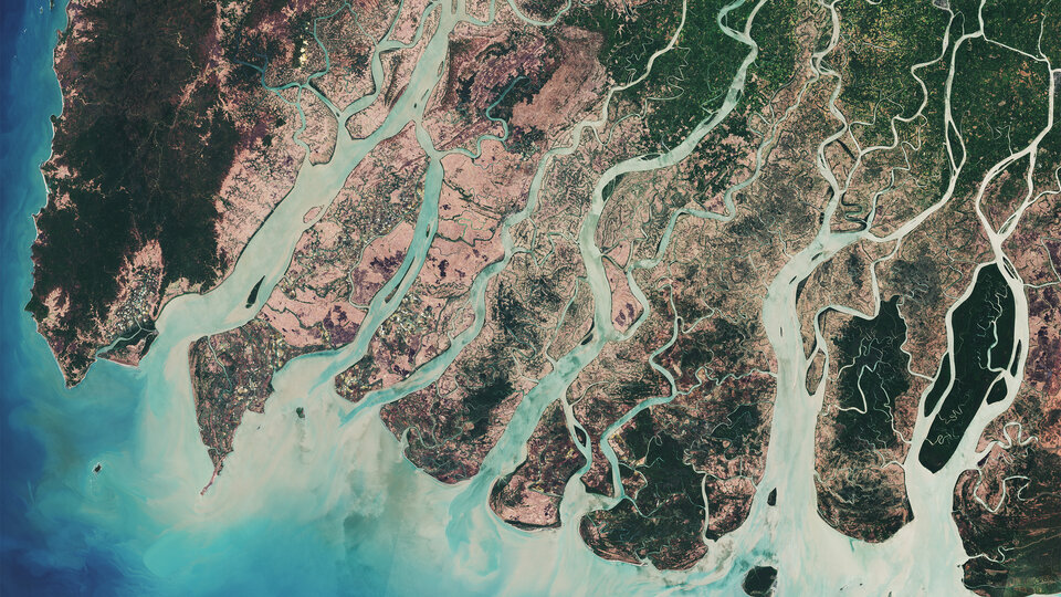
Project Overview
End-to-end deep learning system for automatic mangrove detection and carbon stock estimation from multispectral satellite imagery. Replaces manual GIS workflows with an AI pipeline:
- Pixel-level mangrove segmentation
- Area calculation from satellite images
- Carbon stock & CO₂ equivalent estimation
Supports environmental monitoring and carbon credit verification (SDG 13 & SDG 15).
Core Contributions
- Automated mangrove detection using deep learning
- Segmentation to measurable carbon stock values
- Full pipeline: image → mask → area → carbon estimate
- Prototype web interface for visualization
AI & Modeling
- U-Net++ segmentation
- SAM2 for mask generation
- Pixel-level classification
- Image preprocessing & normalization
- Area-based carbon estimation
Tech Stack
Deep Learning
- PyTorch
- U-Net++
- SAM2
- OpenCV
Geospatial & Image Processing
- Multispectral satellite imagery
- Image preprocessing pipeline
- Area computation from pixel masks
Backend / System
- Python
- End-to-end model pipeline